Drone Video Services

Overview

Platinum Asset Protection now extends its expertise in advanced site surveillance to offer premium Drone Video and Aerial Photography Services. Utilizing state-of-the-art UAV technology, we provide clients with unparalleled visual intelligence, surveying, and marketing content for construction, infrastructure, and high-profile property assets.

High-Definition Aerial Visuals

Our professional drone services capture high-resolution imagery and stunning 4K video from unique aerial perspectives, delivering crucial visual data that ground-level cameras cannot achieve.

Key Applications & Benefits:

Construction & Site Surveys:

Progress Monitoring: Conduct fast, high-definition aerial surveys to track project milestones, document earthwork, and monitor site logistics from above.

Inspection & Audit: Safely inspect hard-to-reach areas like roofs, high-rise facades, and infrastructure for structural integrity, damage assessment, or compliance audits, reducing risk and time.

Infrastructure & Land Mapping:

Topographical Data: Capture accurate aerial data for mapping, boundary confirmation, and infrastructure route planning.

Security Assessment:

Perimeter Scans: Utilize drones for advanced, high-level perimeter and terrain security assessments, identifying blind spots or potential vulnerabilities across large properties or construction zones.

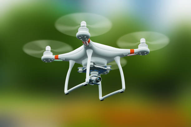
Our certified drone pilots ensure all flights are conducted safely, legally, and with the utmost discretion, providing you with superior visual assets

Book Your FREE, No-Obligation Site Security Survey and Quotation.